Powered by Obi Mbieri Independent Media Ltd · eziokwubundu.com
$1 = ₦1,336€1 = ₦1,533£1 = ₦1,786UN backs map showing Africa's true size
For generations, schoolchildren across Nigeria and the rest of the world have stared at classroom walls displaying a world map that quietly told a lie. Africa — the second-largest continent on Earth, stretching over 30.3 million square kilometres — appeared dwarfed by Greenland, squeezed beside an i...
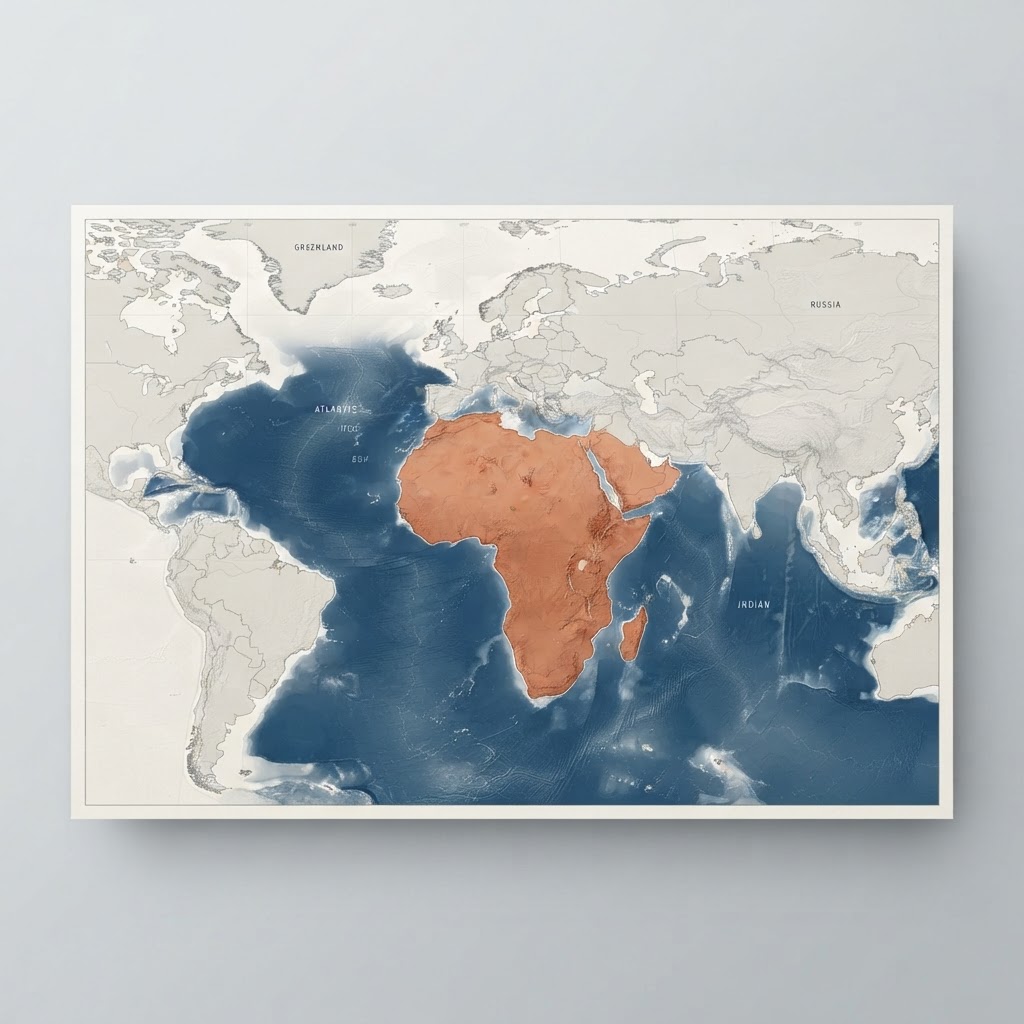
For generations, schoolchildren across Nigeria and the rest of the world have stared at classroom walls displaying a world map that quietly told a lie. Africa — the second-largest continent on Earth, stretching over 30.3 million square kilometres — appeared dwarfed by Greenland, squeezed beside an inflated Europe, and visually reduced to a secondary player on the global stage. That lie has now been formally challenged at the highest diplomatic level. In a landmark vote at the United Nations General Assembly, the international community has backed a resolution urging the world to adopt cartographic projections that accurately reflect Africa's true physical scale. This is not merely a technical debate among geographers. It is a moment of cultural reckoning, educational reform, and collective identity restoration — one with direct implications for Nigerian families, community leaders, students, and entrepreneurs who build their worldview from the maps they were given.
What Did the UN General Assembly Decide on Africa's Map?
The historic 'Correct the Map' resolution
The United Nations General Assembly passed a resolution titled "Correct the Map" in a vote that sent an unmistakable message to the international community: the distorted cartographic representation of Africa can no longer be treated as a neutral technical default. Sponsored by Togo on behalf of all 54 member states of the African Group and championed by the African Union, the resolution passed with an overwhelming 164 votes in favour, six abstentions, and only one dissenting vote — cast by the United States.
The resolution formally recommends that global institutions, national governments, and educational systems move beyond Eurocentric cartographic distortions and adopt proportional, equal-area projections — specifically endorsing tools like the Equal Earth map, developed in 2018 — when representing the world's geography in educational materials, policy documents, and public communications.
Togo's Foreign Minister Robert Dussey, who championed the resolution at the General Assembly, framed the issue in terms that go far beyond cartography. He argued that geographical maps fundamentally shape human perception, steer international policy decisions, influence how nations are valued in diplomatic chambers, and determine how entire populations understand their own place in the world. "When you show Africa as smaller than it truly is," he noted, "you programme people — including Africans themselves — to see the continent as less significant than it is."
Reported extensively by BBC News, this vote marks one of the most consequential resolutions on geographic representation in the history of the United Nations, setting in motion a global conversation about visual justice and territorial dignity.
Why Has the Mercator Projection Distorted Africa for Centuries?
A 1569 navigation tool that shrank a continent
To understand why the UN resolution matters, it is essential to examine the cartographic mechanism responsible for the distortion: the Mercator projection, created in 1569 by Flemish geographer Gerardus Mercator. Mercator designed his projection with a singular, practical purpose — to assist European sailors navigating oceanic trade routes. His system preserved the angular accuracy necessary to plot straight-line compass courses, known as rhumb lines, making it an indispensable tool for maritime navigation during the Age of Exploration.
The fundamental mechanics of the Mercator projection involve stretching landmasses progressively as they move away from the equator toward the polar regions, while territories along the equatorial belt — including Africa, South America, and Southeast Asia — are rendered proportionally smaller. The result is a global image in which the northern hemisphere, home to Europe and North America, is significantly exaggerated in size.
The most dramatic illustration of this distortion is the visual equivalence the Mercator projection creates between Greenland and Africa. Greenland covers approximately 2.16 million square kilometres. Africa covers more than 30.3 million square kilometres — making Africa roughly fourteen times larger than Greenland. Yet on a standard Mercator world map, Greenland appears comparable in size, and in some reproductions even appears larger than the entire African continent.
Cartographer Tom Patterson, one of the creators of the Equal Earth projection, has been outspoken about the cultural consequences of placing this distorted map in classrooms worldwide. When children spend years learning geography from a map that visually diminishes equatorial nations, they absorb a subtly skewed hierarchy of global importance — one that places European and North American territories at the perceptual centre of significance. Patterson's critique is not simply aesthetic; it is a structural argument about how spatial misinformation shapes geopolitical assumptions across generations.
How Does the Equal Earth Projection Show Africa's Real Scale?
Cartographic science behind the new global standard
The Equal Earth projection, introduced in 2018 by cartographers Tom Patterson, Bernhard Jenny, and Bojan Šavrič, was created specifically to address the long-standing absence of a map projection that combines mathematical accuracy with visual appeal. Unlike earlier equal-area projections — which, while geometrically correct, produced unattractive, distorted continent shapes — the Equal Earth map achieves proportional accuracy while maintaining recognisable, aesthetically balanced landmass forms. It has since been endorsed by cartographic institutions and is now being integrated into educational and institutional frameworks globally.
The practical implications of the Equal Earth projection become vivid through concrete land comparisons. Africa's 30.3 million square kilometres is large enough to comfortably contain the entire continental United States (9.5 million sq km), China (9.6 million sq km), India (3.3 million sq km), Japan (0.38 million sq km), and most of Western Europe — simultaneously, with room to spare. These are not abstract statistics; they represent a continent of extraordinary agricultural, mineral, demographic, and economic scale that has been systematically underrepresented in the global visual imagination.
Professor Carlos Lopes of the University of Cape Town, one of Africa's foremost development economists, has argued that the transition to equal-area cartography is not merely a technical correction but a critical act of cultural and epistemic restoration. When African children see their continent rendered accurately — occupying its rightful, commanding presence on the world map — it alters how they conceptualise Africa's potential, its strategic centrality, and their own inherited capacity for global leadership. The "Correct the Map" resolution, in this sense, is a foundation for building a generation of Africans whose self-understanding is not quietly diminished by the tools of their own education.
Why Did the United States Oppose the Cartographic Resolution?
Geopolitics behind the single dissenting vote
The lone dissenting vote against the "Correct the Map" resolution came from the United States, cast by deputy representative Yaryna Ferencevych. The official U.S. position characterised the resolution as an ideological distraction — an exercise that diverts precious diplomatic attention and UN resources away from what Washington considers more pressing security, humanitarian, and governance priorities. From the American perspective, the appropriate forum for standardising cartographic practice is technical bodies such as the International Cartographic Association, not the UN General Assembly.
This response reflects a broader pattern of Western geopolitical inertia around issues of epistemic justice and symbolic reform. For centuries, legacy cartographic frameworks developed to serve maritime and colonial administrative purposes have been passively maintained in classrooms, atlases, and media worldwide — not because they remain technically necessary, but because institutional momentum rarely questions what has become visually familiar.
Featured Products
Chukwu Abiama Tee
Bold black-and-gold Igbo-pride T-shirt featuring 'Chukwu Abiama' in premium streetwear typography.
₦15,000
Buy NowReverse Type 2 Diabetes & other associated Metabolic Issues using Dr. Jason Fung's Evidence-Based Approach— FMD program for Type 2 Diabetes
A practical fasting and fasting-mimicking programme built on Dr Jason Fung's insulin-resistance principles and ow-glycemic recipes.
₦19,950
Join NowỤmụ Igbo Tee
Classic black T-shirt with bold white 'Ụmụ Igbo' typography — a proud statement of Igbo heritage.
₦15,000
Buy NowNwanne Tee
Washed khaki vintage tee with a faded rust-orange 'Nwanne' stamp badge and palm leaf motif — a nod to kinship and heritage.
₦18,000
Buy NowObodo Tee
Faded denim-blue washed tee with a cream 'Obodo' stamp badge and sun motif, celebrating community roots.
₦18,000
Buy NowEkwe Heritage Tee
Deep indigo tee featuring a fine line-art illustration of a traditional Igbo ekwe drum, inspired by Igbo-Ukwu bronze artistry.
₦18,000
Buy NowIkenga Figure Tee
Forest green tee with a fine line-art illustration of a stylized Ikenga figure.
₦18,000
Buy NowThe Global South, by contrast, has increasingly identified accurate representation as inseparable from political dignity and developmental sovereignty. The concept of "epistemic justice" — the right of communities to be accurately depicted and understood in systems of knowledge — has gained traction among African scholars, policymakers, and civil society organisations as part of a broader decolonisation discourse.
Importantly, the UN resolution is non-binding. It carries moral and diplomatic weight, but it does not compel any government, publisher, or institution to immediately replace their maps. Real transformation will depend on grassroots implementation — on educational publishers choosing the Equal Earth projection for new textbooks, on digital mapping platforms updating their defaults, on media houses retiring Mercator in favour of accurate alternatives, and on community leaders and parent-teacher associations advocating for accurate maps in local schools. The cultural adoption of cartographic truth is, ultimately, a community-level project as much as a diplomatic one.
How Does Cartographic Truth Affect Nigerian Youth and Mental Wellness?
Geographic dignity as a mental health issue
The psychological consequences of spatial marginalisation are not trivial. For Nigerian youth — raised on school maps that visually position their continent as smaller and less significant than Europe or North America — the subtle message is one of diminishment. Researchers studying the intersection of environmental representation and psychological development have found that when communities are consistently depicted as peripheral or minor in systems of knowledge, including maps, it can contribute to what scholars describe as internalised geographic inferiority: a reduced sense of continental agency and pride.
At Eziokwubundu, we understand that holistic well-being extends beyond physical health and nutrition. Mental wellness is directly connected to the stories a community tells about itself — and the maps it uses to illustrate those stories. Accurate representation of Africa's size affirms for every Nigerian student that they come from a continent of unmatched scale, strategic importance, and civilisational depth. That affirmation has real, measurable effects on civic optimism, community resilience, and individual ambition.
This connects directly to the broader conversation about mental health support for Nigerians in rural areas, where community self-image and access to affirming, accurate information play foundational roles in psychological health.
Practical steps for Nigerian communities:
Parent-teacher associations should petition school boards to procure Equal Earth wall maps for classrooms. Autonomous community leaders can incorporate accurate continental maps into civic education programmes. Local schools can partner with NGOs and development organisations to access free Equal Earth map resources available through institutions like Esri's Natural Earth Data Project and academic cartography departments.
What Economic Opportunities Come from Recognising Africa's True Scale?
Territorial reality as a foundation for wealth creation
Africa's 30.3 million square kilometres is not just a geographical fact — it is an economic argument. The continent's physical scale underpins the foundational logic of the African Continental Free Trade Area (AfCFTA), which at full implementation represents a market of over 1.4 billion people and a combined GDP exceeding $3.4 trillion. Understanding Africa's true size is the first step toward understanding why intra-African trade, cross-border logistics, and regional supply chains represent some of the most significant wealth-creation opportunities available to Nigerian entrepreneurs in the coming decades.
For Nigerian logistics founders and agricultural investors, the scale revealed by accurate cartography opens strategic thinking about continental supply chains that the Mercator-diminished mental map simply did not inspire. When investors and entrepreneurs genuinely internalise the geographical reality that Nigeria sits at the heart of one of the largest landmasses on Earth — surrounded by regional markets of enormous scale — the case for domestic manufacturing, regional export strategies, and cross-border enterprise becomes immediately compelling.
As explored in our coverage of Nigeria's Reserves Surge to $54.08bn, Nigeria's macroeconomic foundations are strengthening. Combining that momentum with the continental market vision that accurate geography enables — and the communal solidarity that has always defined Nigerian enterprise — positions Nigerian families to build generational prosperity grounded in both territorial truth and collective ambition. For practical next steps on financing that ambition, resources like microfinance loan options in southeast Nigeria provide accessible starting points for entrepreneurs ready to build at scale.
Conclusion
The United Nations' endorsement of accurate cartography for Africa is a milestone that deserves far more attention than it typically receives in mainstream media. It is simultaneously a correction of historical distortion, an act of cultural restoration, a foundation for educational reform, and a catalyst for economic reimagination. For Nigerian families, community leaders, students, and entrepreneurs, this resolution is a reminder that the tools through which we understand the world shape the ambitions we allow ourselves to hold.
Africa was never small. The maps were wrong. Now the world has been asked, formally and collectively, to correct the record — and it is the responsibility of every school, every community organisation, every media platform, and every parent to ensure that the next generation of Nigerians grows up seeing the continent they come from as it truly is: immense, central, and full of extraordinary promise.
For further reading on community development and accountability in Nigeria, see our coverage of infrastructure challenges in Mbieri and the work of local government leadership in Mbaitoli, where the connection between accurate information and community progress is lived every day.
Stay Informed
Get New Articles in Your Inbox
Subscribe to receive the latest community development, health, and wealth insights from Eziokwubundu.
Newsletter
Practical insights on health, wealth, and community — delivered weekly.
Community Discussion(0)
Leave a Comment
More to Read
You May Also Like
CARSPO 2026: Why Nigeria's Police Chiefs Are Converging on Owerri
Nigeria stands at a defining crossroads. With the 2027 General Elections approaching, the country's senior law enforcement leadership is leaving nothing to chance. From September 21 to 23, 2026, Owerri, the capital of Imo State in Nigeria's South-East, will host one of the most consequential securit...

Osimhen Out: What His Injury Means for Nigeria’s 2027 AFCON Qualifiers
Victor Osimhen's name alone carries weight in African football. When the Super Eagles' most prolific striker steps onto the pitch, expectations follow — goals, movement, pressure on opposition defenses, and the kind of attacking intent that changes the outcome of matches. But ahead of Nigeria's open...
NSCDC Deaths: What Happened Inside the Niger Detention Facility?
On the morning of September 17–18, 2026, news broke from Minna that would shake Nigeria's security establishment to its foundations. Thirty-seven detainees held inside a Nigeria Security and Civil Defence Corps (NSCDC) facility in Niger State were found dead. The tragedy did not unfold on a battlefi...

Wike–Uzodimma Dispute: Imo Lawyers Respond to FCT Minister's Attacks
Political tensions between Nigeria's FCT Minister Nyesom Wike and Imo State Governor Hope Uzodimma have escalated to a point where legal professionals feel compelled to intervene. The Imo Lawyers for the Defence of Democracy has formally called out what it describes as dangerous personal attacks ema...
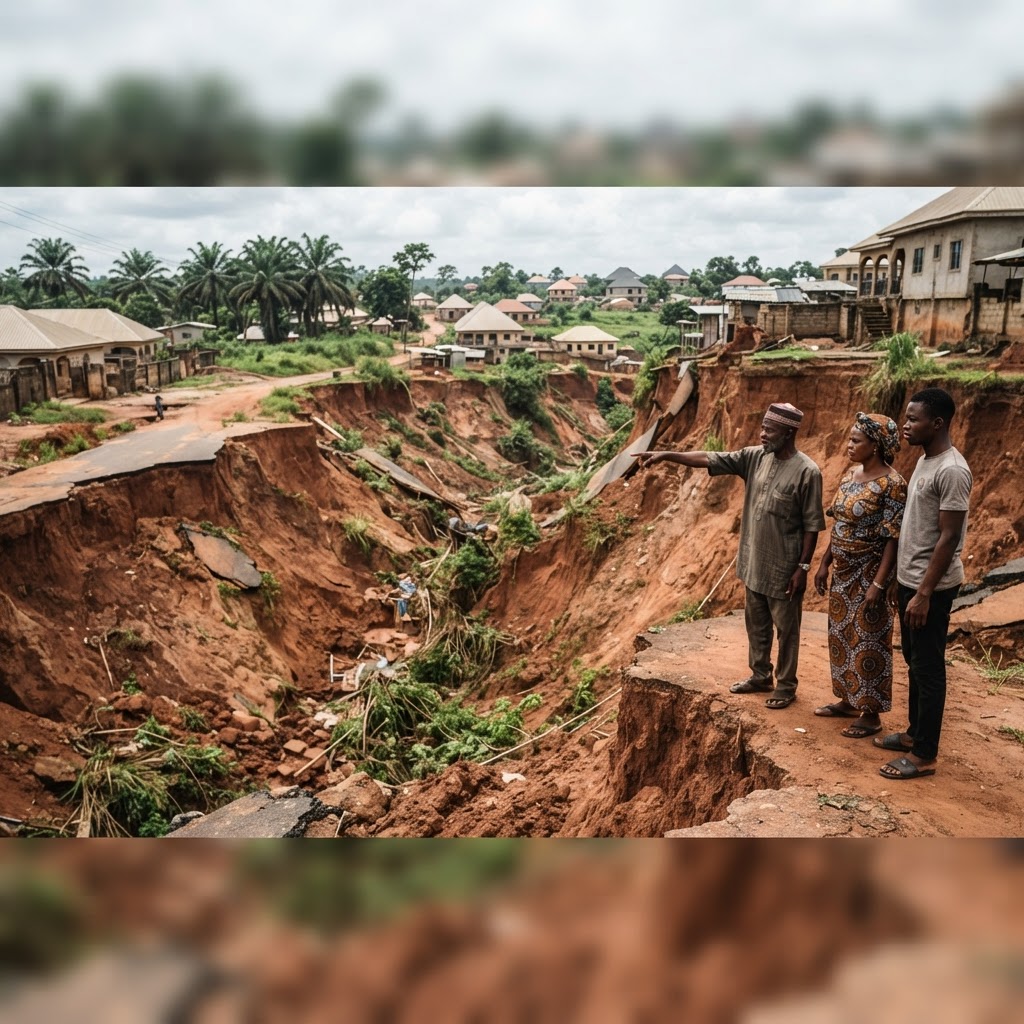
Imo Erosion Crisis: Mbieri Communities Demand Urgent Government Action
The ground beneath Mbieri is literally disappearing. In Mbaitoli Local Government Area of Imo State, advancing gullies are swallowing roads, threatening homes, and pushing one of southeastern Nigeria's most resilient communities toward an environmental breaking point. Residents are no longer waiting...
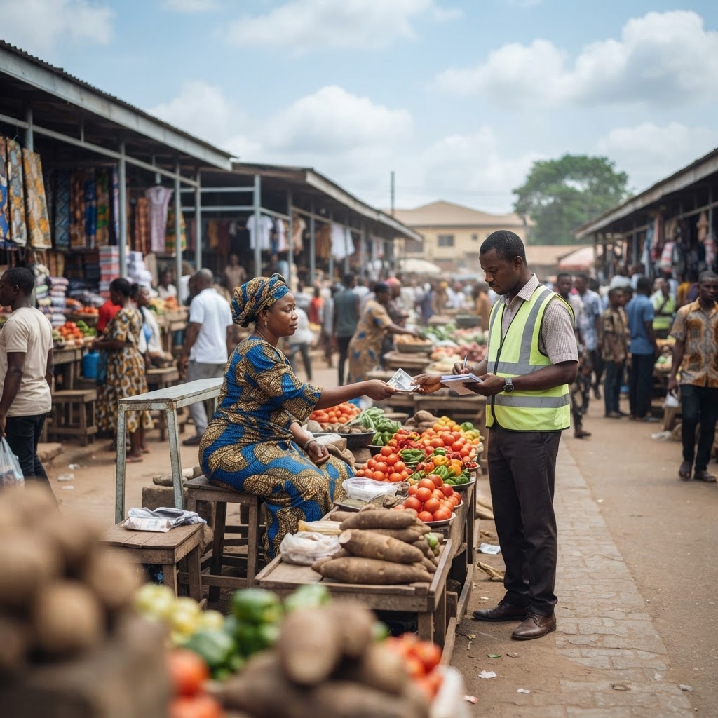
Imo Markets: What Fees Are Traders Paying and Who Collects Them?
For thousands of traders operating daily across Imo State's bustling markets — from Relief Market in Owerri to the Naze Timber and Allied Traders Market — paying levies is an unavoidable cost of doing business. But in 2026, a more urgent question is emerging from beneath the noise of commerce: exact...
Donor Health Funds Under Scrutiny: Why a Civil Society Group Wants FBI, EFCC to Widen Probe
International health aid is only as effective as the integrity of those who manage it. When billions of naira in donor-funded resources meant to combat HIV and tuberculosis go missing or are misappropriated, the consequences are not abstract — they are measured in lives lost, treatments missed, and ...
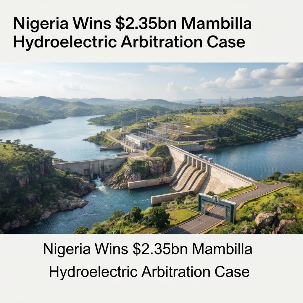
Nigeria Wins $2.35bn Mambilla Hydroelectric Arbitration Case
Nigeria has secured a landmark legal victory that could reshape the country's energy landscape for generations. An International Chamber of Commerce (ICC) arbitration tribunal sitting in Paris has ruled in favour of the Federal Government of Nigeria, rejecting a staggering $2.35 billion claim brough...
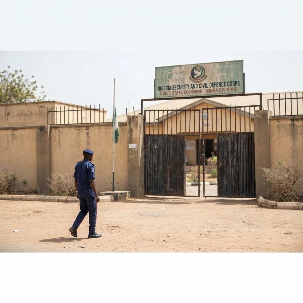
37 Suspected Illegal Miners Die in NSCDC Custody in Niger State
The deaths of 37 human beings in state custody should never be reduced to a statistic. Yet on a deeply troubling day in September 2026, that is precisely what happened in Niger State, Nigeria, when 37 suspected illegal miners died while detained by the Nigeria Security and Civil Defence Corps (NSCDC...
Imo 2028 Succession Debate Intensifies
The political temperature in Imo State has risen sharply as stakeholders, party insiders, and community leaders begin the complex arithmetic of who governs the state after January 2028. What began as quiet backroom conversations has evolved into a full-throated public debate, touching on constitutio...