Powered by Obi Mbieri Independent Media Ltd · eziokwubundu.com
$1 = ₦1,330€1 = ₦1,497£1 = ₦1,758History of Mbaitoli LGA, Imo State: Origins, Communities and Development
Mbaitoli Local Government Area is one of the most historically significant and culturally rich administrative units in Imo State, southeastern Nigeria. Positioned along the Owerri–Orlu corridor, it represents not merely a modern bureaucratic boundary but the living inheritance of ancient Igbo commun...
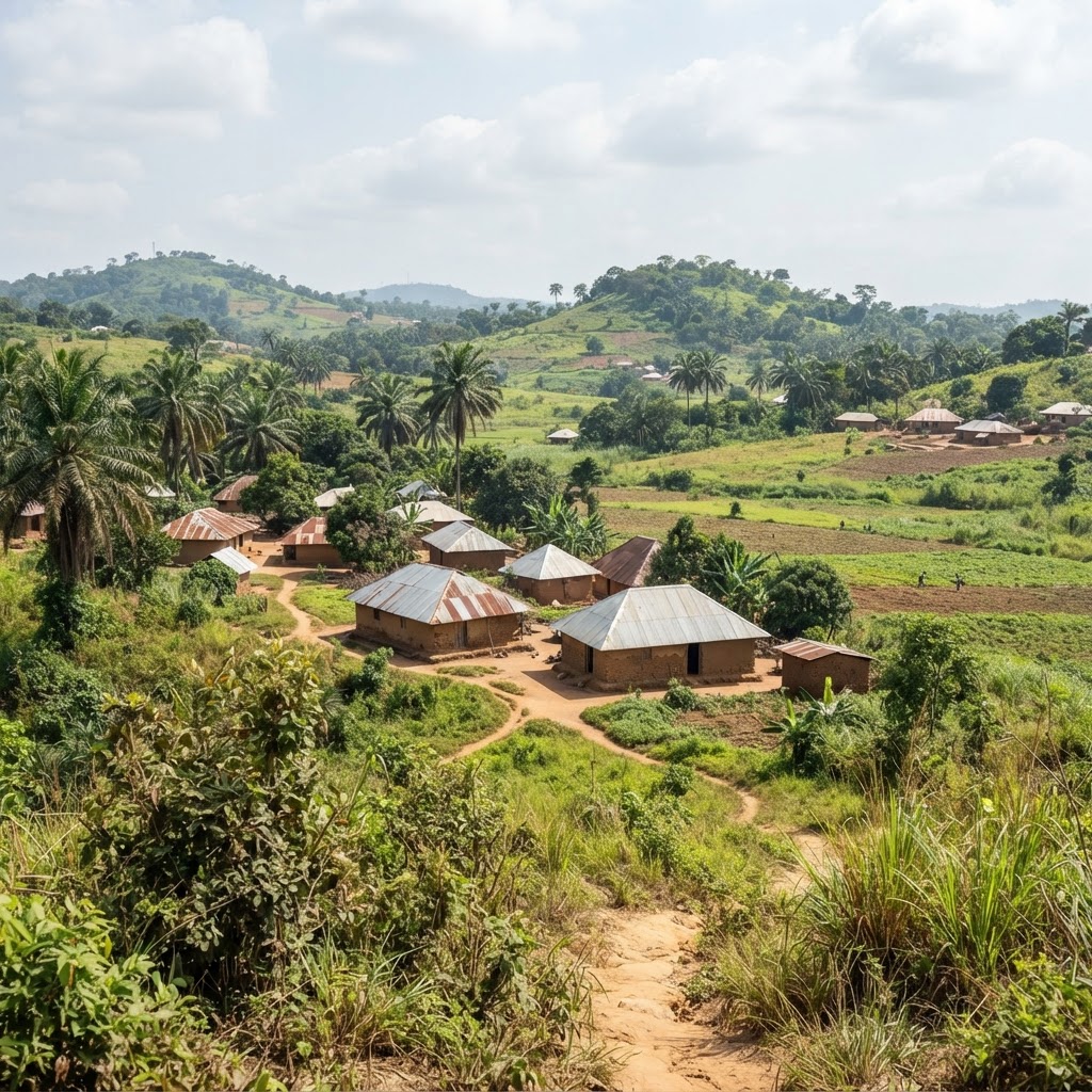
Mbaitoli Local Government Area is one of the most historically significant and culturally rich administrative units in Imo State, southeastern Nigeria. Positioned along the Owerri–Orlu corridor, it represents not merely a modern bureaucratic boundary but the living inheritance of ancient Igbo communities whose social institutions, agricultural traditions, and cultural practices have shaped the identity of this region for centuries. Understanding the full history of Mbaitoli LGA requires looking far beyond the official creation date of 1989. It demands an examination of pre-colonial kingdoms, colonial disruption, civil war reconstruction, administrative evolution, and the community-driven development that continues to define the area today.
What Defines Mbaitoli LGA's Identity Today?
Geography, Population, and Strategic Importance
Mbaitoli Local Government Area sits within the Owerri–Orlu corridor, occupying an estimated 204 to 234 square kilometres of Imo State's landscape. This positioning makes it a vital geographic and commercial bridge between Owerri — the state capital — and Orlu, two of the most economically active zones in southeastern Nigeria. Its location along the Owerri–Orlu Federal Road has historically accelerated the movement of people, goods, and ideas through the area.
According to the 2006 National Population Census, Mbaitoli recorded 237,474 residents — 118,959 males and 118,515 females — making it one of the more populous LGAs in Imo State. Current demographic projections estimate the population now exceeds 327,000, driven by urbanisation spillover from Owerri, natural population growth, and increasing commercial settlement.
The administrative headquarters at Nwaorieubi functions as both a governance centre and a commercial hub along the federal road. Its strategic position has allowed it to grow beyond a mere bureaucratic seat into a recognisable economic node within the LGA.
The very name "Mba-itoli" carries historical meaning. It is widely interpreted as referencing the nine traditional towns that collectively form the foundation of the local government's identity — a concept that distinguishes Mbaitoli not as a bureaucratic construct but as a confederation of ancient communities with shared cultural roots.
Where Do Mbaitoli's Ancient Community Roots Begin?
Pre-Colonial Origins and Traditional Social Structures
Long before Nigeria's modern administrative system was conceived, the communities that today constitute Mbaitoli LGA existed as self-governing entities with sophisticated social, legal, and economic structures. Drawing on Uche V. Mbah's foundational 2001 work, Mbaitoli History: An Introduction, historians can trace the lineage of original settlements including Mbieri, Orodo, Ogwa, Ubomiri, Umunoha, Ifakala, Afara, Ogbaku, and Eziama-Obiato through generations of oral tradition, land tenure records, and archaeological evidence.
Traditional Mbaitoli society was organised around families, kindreds, and village assemblies. Authority resided with elders, titled men, and community councils who arbitrated disputes, allocated land, and upheld social order. The institution of the Ofor — a symbol of ancestral authority — was central to the legitimacy of Igbo leadership within these communities.
Ogbaku offers a compelling example of this ancient governance. Historical accounts describe it as a kingdom with documented origins dating back at least to the 18th century, functioning as a sovereign polity before colonial administrative redrawing. Orodo similarly operated as an established kingdom with clear territorial boundaries and a structured system of elder-led governance. You can read more about how such ancient structures have influenced modern institutions in the History of Obi Mbieri.
Agriculture was the economic cornerstone of pre-colonial Mbaitoli life. Families cultivated cassava, yam, and other staple crops, while palm produce served both domestic consumption and early inter-community trade. Periodic markets functioned as commercial and social gathering points, connecting communities with neighbouring territories. Festivals, age-grade ceremonies, communal labour, and religious traditions reinforced social cohesion and transmitted cultural values across generations, maintaining a remarkably stable society over centuries.
How Did Mbaitoli Evolve from Rural District to Modern LGA?
The Administrative Journey from 1955 to 1989
The formal administrative history of Mbaitoli predates the 1989 creation of the present LGA by several decades. As early as 1955, the area functioned as a Rural District Council, with its administrative centre already established at Nwaorieubi — a continuity of governance that underscores the town's enduring strategic importance.
The subsequent era saw the area administered as the Mbaitoli/Ikeduru Local Government Area, a combined unit that reflected the colonial and early post-independence approach to grouping related communities under shared administrative structures. This arrangement, however, became increasingly strained as populations grew and community identities demanded distinct representation.
The Nigerian Civil War (1967–1970) imposed severe disruption on the region. Communities throughout the Owerri area experienced displacement, infrastructure destruction, and economic collapse. The post-war reconstruction period demanded enormous community resilience, and the decades following 1970 saw a gradual rebuilding of schools, roads, markets, and health facilities across Mbaitoli's communities.
The definitive turning point came on 11 May 1989, when the Federal Military Government under General Ibrahim Badamasi Babangida created Mbaitoli as a distinct Local Government Area, separating it from Ikeduru as part of a nationwide restructuring of local government units. This moment gave Mbaitoli its modern administrative identity, even as its cultural and historical identity remained far older. For a comprehensive overview of the LGA's current structure, the Complete Guide to Mbaitoli Local Government Area Imo State provides an excellent reference.
Which Principal Communities Form the Heart of Mbaitoli?
The Nine Towns and Autonomous Communities
The identity of Mbaitoli LGA is inseparable from its nine principal traditional communities. Each town carries its own distinct history, leadership structures, and cultural character, yet together they form the collective fabric of the local government.
Mbieri, widely regarded as the most populated of the nine, has developed substantially due to its proximity to Owerri and now exhibits the characteristics of a peri-urban settlement. Orodo occupies a strategic position on the Owerri–Orlu corridor and has historically been one of the most commercially active communities in the LGA. Ogwa maintains strong agricultural traditions alongside growing modern infrastructure. Ubomiri, also close to Owerri, has experienced rapid suburbanisation, attracting residential development and professional residents who work in the state capital. Umunoha, Ifakala, and Afara each carry rich pre-colonial histories and continue to sustain traditional institutions alongside modern town union structures. Ogbaku, as discussed, traces its kingdom origins back centuries, making it one of the historically oldest polities in the LGA. Eziama-Obiato rounds out the nine, contributing to the agricultural and cultural diversity of the area.
Over time, these nine traditional towns have been further sub-divided into over 31 autonomous communities — a transition that reflects Nigeria's evolving approach to recognising grassroots identity within the local government framework. This distinction matters: traditional kingdoms and modern autonomous communities are not synonymous, as administrative boundaries frequently cut across older territorial lines. For a detailed breakdown, the List of Autonomous Communities in Mbaitoli LGA provides a comprehensive directory.
Featured Products
Chukwu Abiama Tee
Bold black-and-gold Igbo-pride T-shirt featuring 'Chukwu Abiama' in premium streetwear typography.
₦15,000
Buy NowReverse Type 2 Diabetes & other associated Metabolic Issues using Dr. Jason Fung's Evidence-Based Approach— FMD program for Type 2 Diabetes
A practical fasting and fasting-mimicking programme built on Dr Jason Fung's insulin-resistance principles and ow-glycemic recipes.
₦19,950
Join NowỤmụ Igbo Tee
Classic black T-shirt with bold white 'Ụmụ Igbo' typography — a proud statement of Igbo heritage.
₦15,000
Buy NowNwanne Tee
Washed khaki vintage tee with a faded rust-orange 'Nwanne' stamp badge and palm leaf motif — a nod to kinship and heritage.
₦18,000
Buy NowObodo Tee
Faded denim-blue washed tee with a cream 'Obodo' stamp badge and sun motif, celebrating community roots.
₦18,000
Buy NowEkwe Heritage Tee
Deep indigo tee featuring a fine line-art illustration of a traditional Igbo ekwe drum, inspired by Igbo-Ukwu bronze artistry.
₦18,000
Buy NowIkenga Figure Tee
Forest green tee with a fine line-art illustration of a stylized Ikenga figure.
₦18,000
Buy NowAt the electoral level, the Independent National Electoral Commission (INEC) recognises 12 registration areas and wards within Mbaitoli, including Afara/Eziama, Ogbaku, Umunoha/Azara, Ubomiri, Ifakala, Ogwa I, Ogwa II, Orodo A, Orodo B, Umunwoha/Mbieri/Umuawu, Amaike Mbieri, and Ezinihittie Mbieri. These wards serve as the foundation for grassroots political representation and community mobilisation. The suburbanisation of communities like Ubomiri and Mbieri reflects a broader trend in which rural traditions coexist with urban residential needs, creating a nuanced cultural geography unique to Mbaitoli.
How Has Mbaitoli's Economy Shifted from Farming to Entrepreneurship?
Traditional Livelihoods and Modern Wealth Creation
Agriculture has been the economic foundation of Mbaitoli communities for generations. The fertile land of the Owerri zone supports the cultivation of cassava, maize, yam, and palm oil, all of which remain primary sources of household income for many families across the LGA. Palm produce historically served as a major commodity connecting Mbaitoli farmers to wider regional and international markets during the colonial period, a legacy that continued well into the post-independence era.
Beyond crop farming, traditional handicrafts formed an essential layer of the local economy. Basket making, broom making, and hair weaving represented not only income sources but also the transmission of artisanal knowledge across generations. These crafts remain part of the cultural and economic life of communities in the area, even as modern alternatives have reduced their economic dominance.
The shift toward entrepreneurship and professional services has been accelerated by notable figures from the area. Leo Stan Ekeh, founder of Zinox Technologies and one of Nigeria's most prominent technology entrepreneurs, traces his roots to Mbaitoli — a powerful symbol of the LGA's capacity to produce transformative business leaders. According to Forbes Africa, Ekeh built Africa's first branded computer manufacturing company, demonstrating that the talent pool from communities like Mbaitoli extends to the highest levels of African commerce and technology.
Periodic markets along the Owerri–Orlu road corridor continue to serve as critical trading infrastructure, connecting local farmers, artisans, and small business owners to the broader Nigerian marketplace. If you are considering establishing a business in the wider region, the guide on how to start a business in Imo State offers practical, actionable guidance tailored to local economic conditions.
What Cultural Traditions Sustain the Mbaitoli Spirit?
Festivals, Heritage, and Social Organisations
Cultural life in Mbaitoli is rich and layered, drawing on pre-colonial traditions, colonial-era adaptations, and post-independence community creativity. The Mmanwu — masquerade festivals representing ancestral spirits — and Okorosha festivals, typically celebrated in December, serve as major unifying events that draw diaspora Mbaitoli residents back home and reinforce communal bonds across generations. These festivals are far more than entertainment; they are living expressions of Igbo cosmology, social hierarchy, and community identity.
The Ekeleke cultural festival, including the celebrated Ekeleke Dancing Group of Orodo and the participation of villages like Akata Afara, illustrates how specific communities have developed distinctive cultural contributions within the broader Mbaitoli tradition. According to the Nigerian Heritage Conservation Commission, Igbo masquerade traditions have been recognised as significant intangible cultural heritage requiring active preservation.
The integration of Christianity — predominantly Catholicism and various Protestant denominations — and Western education into Mbaitoli's social fabric during the 20th century created a distinctive cultural synthesis. Churches, mission schools, and modern educational institutions coexist with age grades, traditional title societies, and community festivals, producing a population that navigates between traditional values and modern progress with notable agility.
Town Unions, Age Grades, and Women's Organisations remain among the most effective mechanisms of community self-governance and development in Mbaitoli. These bodies fund the construction and maintenance of schools, health centres, and local roads — demonstrating the community-first philosophy that has long been central to Igbo development thinking.
How Is Modern Infrastructure Shaping Mbaitoli's Future?
Development Challenges and the Path to Collective Prosperity
Modern Mbaitoli stands at an important developmental crossroads. The presence of a Judiciary High Court, several secondary schools, and expanding health facilities signals growing institutional infrastructure within the LGA. Healthcare access is improving across the region; Imo State's broader commitment to medical development, exemplified by initiatives like the new cancer centre serving Southeast Nigeria, reflects an environment of incremental but meaningful progress.
Urbanisation pressure from Owerri presents both opportunity and challenge. Expanding residential settlements bring economic activity but also risk eroding the cultural identity and agricultural land base that define Mbaitoli's heritage. Diaspora investment — through remittances, community project funding, and direct business establishment — plays an increasingly critical role in filling infrastructure gaps that government budgets leave unaddressed.
The future of Mbaitoli's development is best understood through the lens of the Health + Wealth + Community triangle: sustainable progress requires healthy, educated residents; thriving local economies that reward entrepreneurship and agriculture; and strong, cohesive community institutions that channel collective ambition into shared infrastructure. The next generation of Mbaitoli professionals, families, and community leaders inherits both an ancient foundation and a modern obligation to build upon it wisely.
Conclusion
The history of Mbaitoli Local Government Area is ultimately a story of remarkable continuity and adaptation. From the ancient kingdoms of Ogbaku and Orodo, through the agricultural societies of pre-colonial Igboland, through colonial disruption and civil war, to the 1989 administrative creation and the urbanising present, Mbaitoli's communities have demonstrated an enduring capacity to preserve identity while embracing change.
The nine principal towns — Mbieri, Orodo, Ogwa, Ubomiri, Umunoha, Ifakala, Afara, Ogbaku, and Eziama-Obiato — are not merely names on an administrative map. They represent generations of human settlement, cultural achievement, agricultural innovation, and community governance. The 2006 census figure of 237,474 residents and the projected growth beyond 327,000 today measure the scale of a living, dynamic community, not just a bureaucratic unit.
Understanding this history matters for community leaders, diaspora families, entrepreneurs, students, and policy makers alike. It is the foundation upon which informed development decisions must be built, and it is the inheritance that every generation of Mbaitoli residents carries forward into an increasingly connected and competitive world.
Sources and further reading:
- Uche V. Mbah, Mbaitoli History: An Introduction (2001)
- National Population Commission of Nigeria — 2006 Census Results
- Forbes Africa — Leo Stan Ekeh Profile
- Independent National Electoral Commission — Polling Unit Directory
Stay Informed
Get New Articles in Your Inbox
Subscribe to receive the latest community development, health, and wealth insights from Eziokwubundu.
Newsletter
Practical insights on health, wealth, and community — delivered weekly.
Community Discussion(0)
Leave a Comment
More to Read
You May Also Like
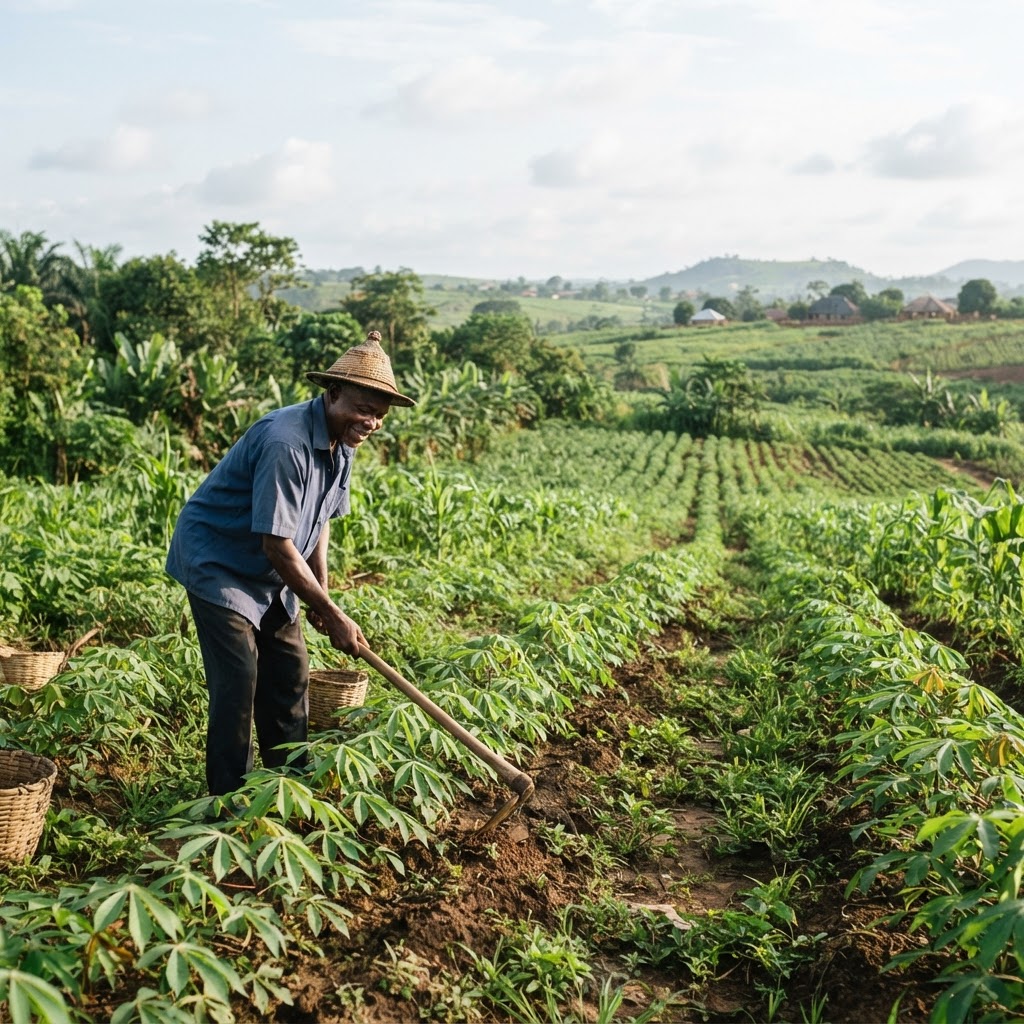
Mbaitoli Security: Are Farmers Returning to Their Farms?
Dust settles slowly over Mbaitoli's farmlands, but the questions linger louder than ever. Families across Imo State whisper the same worry: will their fields ever feel safe again? Mbaitoli Security: Are Farmers Returning to Their Farms? remains one of the most urgent questions facing this agrarian c...
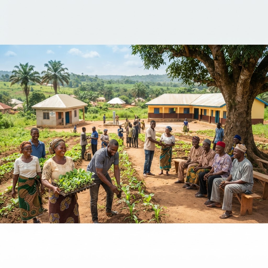
Imo Government to Support 100 More Communities
OKOBI is reshaping how everyday Imo residents build wealth from their own villages. The latest expansion, tagged OKOBI: 100 More Imo Communities Set to Receive Government Support, signals a new chapter in Governor Hope Uzodimma's push for grassroots prosperity. For Nigerian families and community le...
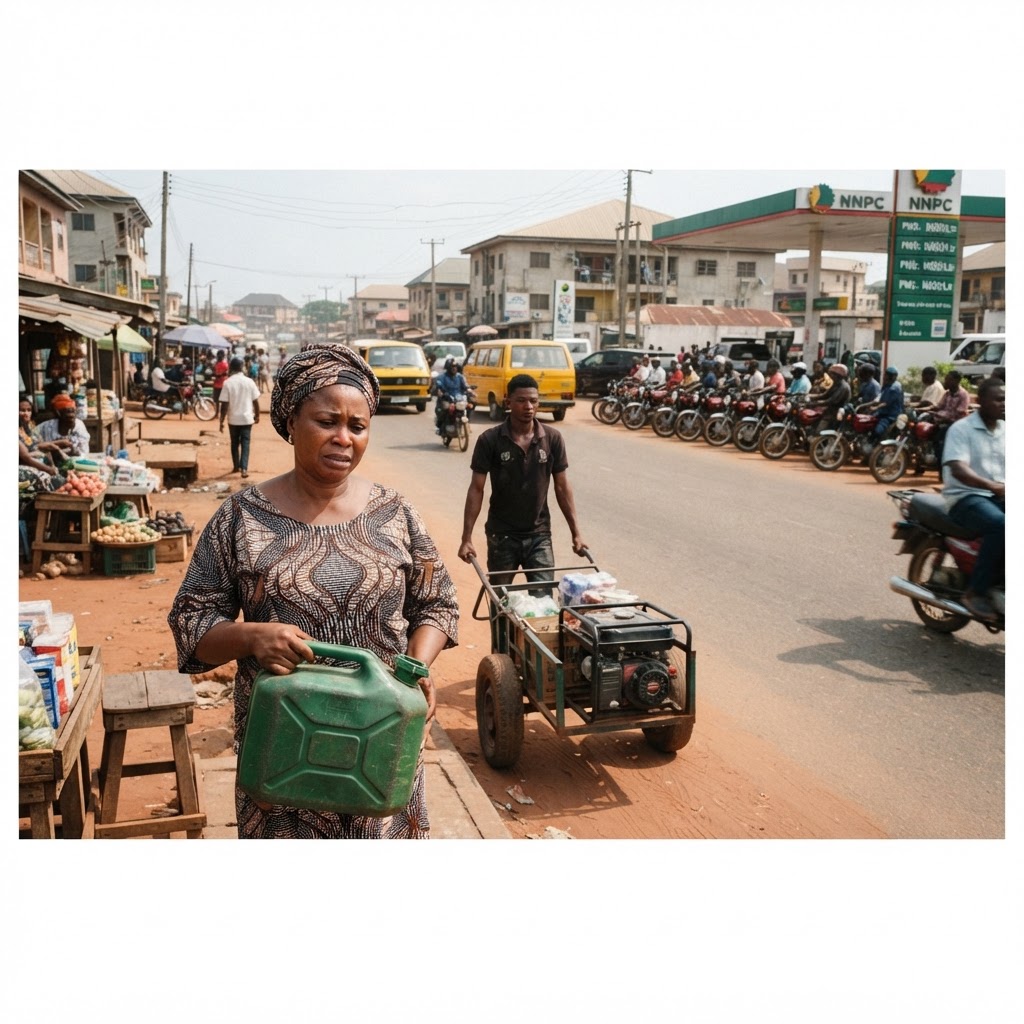
How Rising Petrol Prices Impact Nigerian Households and SMEs
Petrol prices have crossed a psychological line that many Nigerians once thought impossible. At ₦1,400 per litre in several states, rising petrol prices are reshaping how households spend, how businesses operate, and how communities survive. What was once an occasional headline about fuel scarcity h...
48 Months Without Full Pension Payments: Imo Pensioners
Retirement should bring peace, not financial anxiety. Yet across Imo State, thousands of elderly civil servants say their golden years have turned into a struggle for survival. The situation described in "48 Months Without Full Pension Payments: Imo Pensioners Demand Answers" reflects a deepening cr...